ATAK / TAK
The US military's soldier-level map app — a phone-based geospatial situational-awareness and C2 kit built by the Air Force Research Laboratory, now 250,000+ users across the US military, allies and first responders. The Western benchmark Ukraine's and Russia's apps get measured against.
The US military's soldier-level mapping app — the Team Awareness Kit, on Android known as ATAK — turns a phone, tablet or laptop into a shared geospatial situational-awareness and command tool. Built by the Air Force Research Laboratory as a cheap commercial-off-the-shelf alternative to bespoke battle-management hardware, it now spans 250,000-plus users across the US military, allied forces and first responders, and ships in an open-source civilian version. It is the Western reference point that Ukraine's GIS Arta and Kropyva and Russia's Strelets all get measured against.
Overview
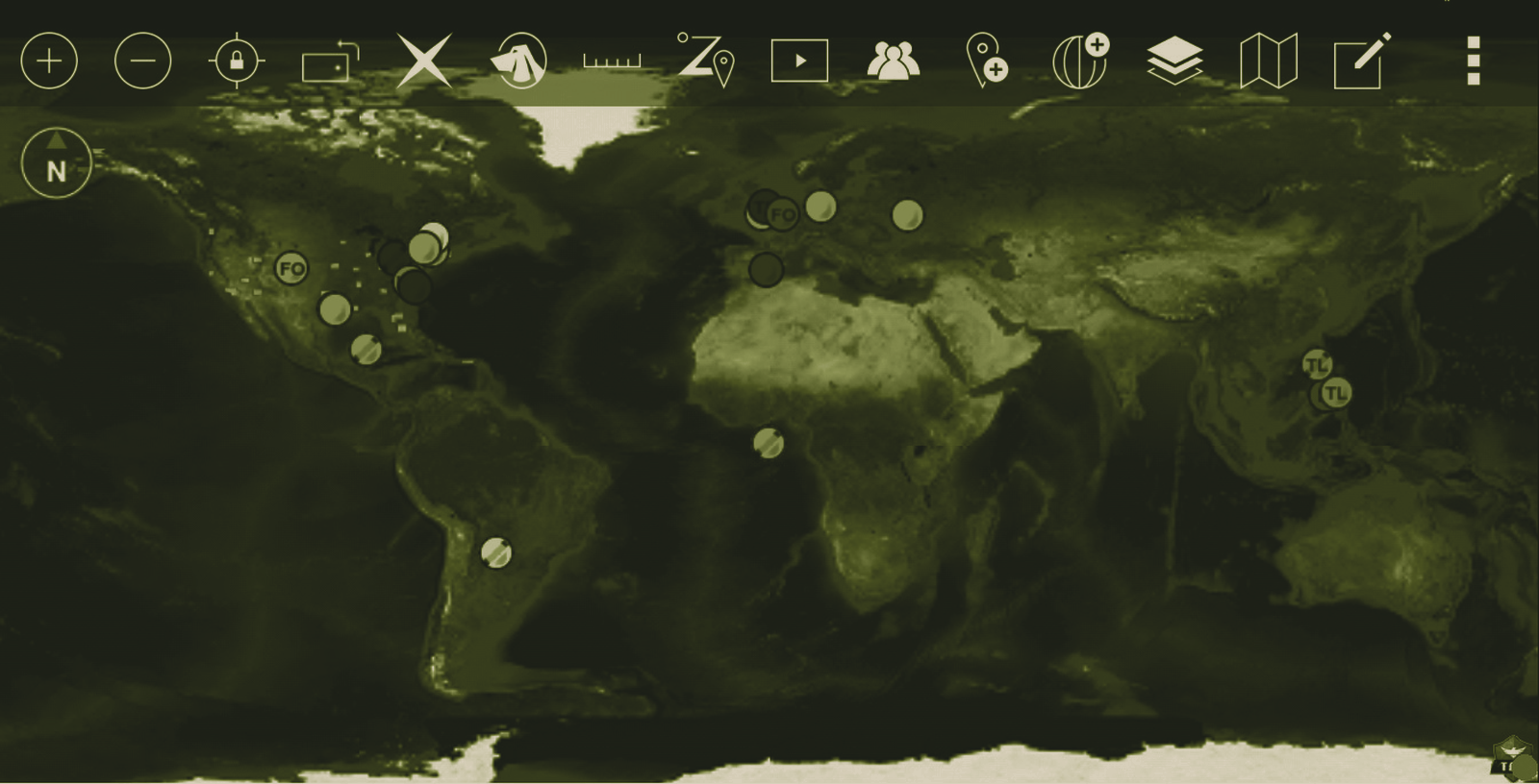
ATAK (Android Team Awareness Kit; the military build is the Android Tactical Assault Kit) is a smartphone geospatial-infrastructure and situational-awareness application, the flagship of the broader TAK family. It overlays a live map with friendly and enemy positions, lets users navigate by GPS, share data across a team, mark and pass targets, and even cue drones — rendering the picture in the NATO-standard APP-6 military symbology and exchanging it in the Cursor on Target (CoT) data format, per Wikipedia. Its defining feature is an open plugin architecture: capability is bolted on for specific missions — close air support, direct action, law enforcement, border security, disaster response, off-grid mesh communications. Where Ukraine's apps are war-grown and Russia's are state-built, ATAK is the long-running American answer to the same question — how to give the individual soldier a shared digital map — and it runs on cellular, satellite or MANET radio bearers.
Development
ATAK began in August 2010 at the Air Force Research Laboratory (AFRL), built on the NASA WorldWind Mobile codebase to demonstrate robust information-sharing on a commercial phone, per Wikipedia. Its breakthrough came in October 2014, when the US Army Geospatial Center chose ATAK over Esri's Commercial Joint Mapping Toolkit and other contenders as the map engine for the Nett Warrior end-user device — citing comparable capability at less than a third of the cost. Adoption grew slowly, then rapidly after 2016: it was fielded to Air Force Special Operations, validated in DARPA's Persistent Close Air Support demonstrations, and spread across the services. AFRL began licensing it to US companies through TechLink in January 2015; a civilian build (CivTAK / ATAK-CIV) reached the Google Play Store in 2020, and the Defense Digital Service open-sourced ATAK-CIV on GitHub that August. It is now maintained by the TAK Product Center, with the server component originating at Raytheon BBN.
🔒 The rest of the ATAK / TAK file is for BattlePolicy Pro members. Stop here and you miss the part that actually matters: how it performs and where it falls short, its combat record, how it stacks up head-to-head against its real counterparts, the complete specifications table, and our analysts’ procurement, supplier and assessment notes. Unlock the full file with BattlePolicy Pro →